MAKE A MEME
View Large Image

| View Original: | 1852_Levasseur_Map_of_the_Department_Bes_Du_Rhone,_France_-_Geographicus_-_BesRhone-levasseur-1852.jpg (3500x2454) | |||
| Download: | Original | Medium | Small | Thumb |
| Courtesy of: | commons.wikimedia.org | More Like This | ||
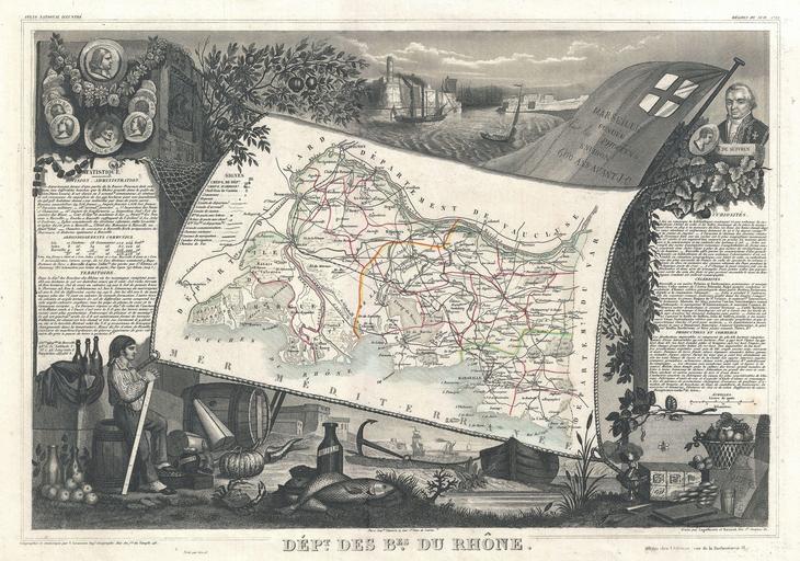
| Keywords: 1852 Levasseur Map of the Department Bes Du Rhone, France - Geographicus - BesRhone-levasseur-1852.jpg Carte de 1857 This is a fascinating 1857 map of the French department of Bes Du Rhone France Covers the coastal region to the north surrounding Mareseille This area of France is known for its variety of wines The northern sub-region produces red wines from the Syrah grape and white wines from Viognier grapes The southern sub-region produces an array of red white and rosé wines often blends of several grapes such as in Châteauneuf-du-Pape There is a short textual history of the regions depicted on both the left and right sides of the map Published by V Levasseur in the 1852 edition of his Atlas National de la France Illustree 1852 undated Size in 16 5 12 object history credit line accession number BesRhone-levasseur-1852 Levassuer V <i>Atlas National Illustré des 86 Départements et des Possessions de La France Divisé par Arrondissements Cantons et Communea avec La Trace de Toutes Les Routes Chemins de fer et Canaux </i> 1852 édition Geographicus-source PD-old-100 Victor Levasseur - Maps of France 1852 maps France Old maps of Bouches-du-Rhône Pierre André de Suffren Fort Saint-Jean Marseille Sitting men in art Phrygian caps Maps in French France | ||||