MAKE A MEME
View Large Image

| View Original: | 1852_Levasseur_Map_of_Australia_and_Polynesia_(Oceanie)_-_Geographicus_-_Oceanie-levasseur-1852.jpg (3500x2609) | |||
| Download: | Original | Medium | Small | Thumb |
| Courtesy of: | commons.wikimedia.org | More Like This | ||
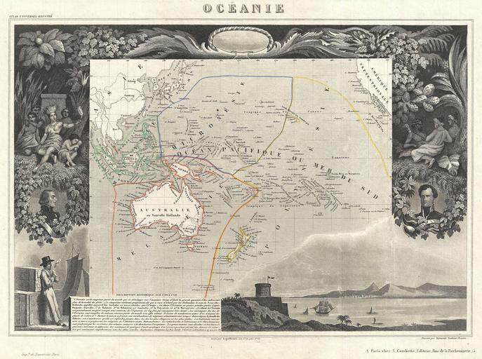
| Keywords: 1852 Levasseur Map of Australia and Polynesia (Oceanie) - Geographicus - Oceanie-levasseur-1852.jpg A fine example of V Levasseur's desirable decorative map of Polynesia and Australia dated 1852 Covers the Pacific from Sumatra to the California Coast focusing on Australia New Zealand Indonesia and the islands of Polynesia The whole is surrounded by elaborate decorative engravings designed to illustrate trade riches of the region There is a short textual history of the region depicted in the lower left quadrant Published by V Levasseur in the 1852 edition of his Atlas National de la France Illustree 1852 undated Size in 17 5 12 75 object history credit line accession number Oceanie-levasseur-1852 Levassuer V <i>Atlas National Illustre des 86 Departements et des Possessions de La France Divise par Arrondissements Cantons et Communea avec La Trace de Toutes Les Routes Chemins de fer et Canaux </i> 1852 edition Geographicus-source PD-old-100 Victor Levasseur - Maps of the world Old maps showing history of Oceania 1852 maps Old maps of Southeast Asia People of Oceania Paintings of seascapes Sailors in art Maps in French 1852 in New Zealand | ||||