MAKE A MEME
View Large Image

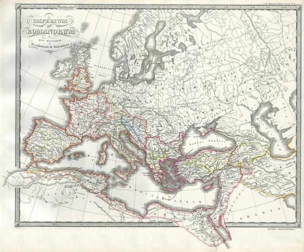
| View Original: | 1850_Map_of_the_Roman_Empire_as_Divided_into_East_and_West_(Ancient_Rome)_-_Geographicus_-_RomeDivided-spruneri-1850.jpg (3000x2487) | |||
| Download: | Original | Medium | Small | Thumb |
| Courtesy of: | commons.wikimedia.org | More Like This | ||
| Keywords: 1850 Map of the Roman Empire as Divided into East and West (Ancient Rome) - Geographicus - RomeDivided-spruneri-1850.jpg This magnificent hand colored 1850 map by Spruneri represents the Roman Empire after its division by Constantine into Eastern and Western Empires in 330A D A beautiful and highly detailed map of this historically region and period Truly one of the finest mid 19th century European maps we ôve seen All text is in Latin 1850 Size in 16 14 object history credit line accession number RomeDivided-spruneri-1850 Geographicus-source PD-old-100 Maps of Roman provinces 1850 maps Old maps of the Roman Empire Maps in Latin | ||||