MAKE A MEME
View Large Image
| View Original: | 1844_Flemming_Map_of_the_Eastern_Hemisphere_-_Geographicus_-_EasternHemi-flemming-1844.jpg (2500x2579) | |||
| Download: | Original | Medium | Small | Thumb |
| Courtesy of: | commons.wikimedia.org | More Like This | ||
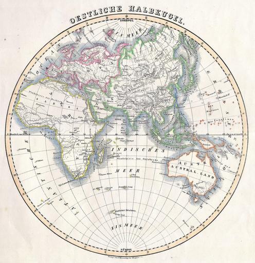
| Keywords: 1844 Flemming Map of the Eastern Hemisphere - Geographicus - EasternHemi-flemming-1844.jpg This attractive hand colored map depicts the Eastern Hemisphere including Africa Europe Asia and Australia Printed in 1844 by well known map publisher C Flemming 1844 Size in 11 11 object history credit line accession number EasternHemi-flemming-1844 Geographicus-source PD-art Maps by Carl Flemming 1844 maps Old maps of Earth's hemispheres Maps in German | ||||