MAKE A MEME
View Large Image
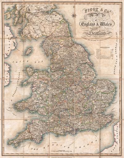
| View Original: | 1830_Pigot_Pocket_Map_of_England_and_Wales_-_Geographicus_-_EnglandWales-pigot-1830.jpg (3500x4463) | |||
| Download: | Original | Medium | Small | Thumb |
| Courtesy of: | commons.wikimedia.org | More Like This | ||
| Keywords: 1830 Pigot Pocket Map of England and Wales - Geographicus - EnglandWales-pigot-1830.jpg An extremely attractive 1830 pocket format map of England Wales and part of Scotland issued by James Pigot Sons Offers extraordinary detail through noting towns cities large estates canals railroad lines and ferries Highly decorative title area in the upper right quadrant Pigot's map seems to be based on the work of Cary which he reduced and updated for this 1830 publication 1830 dated Size in 21 28 object history credit line accession number EnglandWales-pigot-1830 Geographicus-source PD-art Old maps of Great Britain 1830 maps English language maps of Europe | ||||