MAKE A MEME
View Large Image
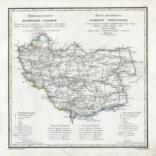
| View Original: | 1820_–í–æ–ª—ã–Ω—Å–∫–∞—è_–ì—É–±–µ—Ä–Ω–∏—è.jpg (4698x4706) | |||
| Download: | Original | Medium | Small | Thumb |
| Courtesy of: | commons.wikimedia.org | More Like This | ||
| Keywords: 1820 –í–æ–ª—ã–Ω—Å–∫–∞—è –ì—É–±–µ—Ä–Ω–∏—è.jpg en Geographic atlas of the Russian Empire Kingdom of Poland and Grand Duchy of Finland is located in governorates in the Russian and French 1821 ru –ì–µ–æ–≥— –∞—Ñ–∏—á–µ—Å–∫–∏–π –∞—Ç–ª–∞—Å –Ý–æ—Å—Å–∏–π—Å–∫–æ–π –∏–º–ø–µ— –∏–∏ –¶–∞— —Å—Ç–≤–∞ –ü–æ–ª—å—Å–∫–æ–≥–æ –∏ –í–µ–ª–∏–∫–æ–≥–æ –∫–Ω—è–∂–µ—Å—Ç–≤–∞ –§–∏–Ω–ª—è–Ω–¥—Å–∫–æ–≥–æ — –∞—Å–ø–æ–ª–æ–∂–µ–Ω–Ω—ã–π –ø–æ –≥—É–±–µ— –Ω–∏—è–º –Ω–∞ — —É—Å—Å–∫–æ–º –∏ —Ñ— –∞–Ω—Ü—É–∑—Å–∫–æ–º —è–∑—ã–∫–∞—Ö 1821 –≥–æ–¥ –í–æ–ª—ã–Ω—Å–∫–∞—è –ì—É–±–µ— –Ω–∏—è –ì–µ–Ω–µ— –∞–ª—å–Ω–∞—è –∫–∞— —Ç–∞ fr Atlas Geografique de L Empire de Russie du Royaume de Pologne et du Grand Duche de Finlande divise en Gouvernemens Mappa Generalna Gubernii Wolynskiey 1821 uk –í–æ–ª–∏–Ω—Å—å–∫–∞ –≥—É–±–µ— –Ω—ñ—è 1821 –ì–µ–æ–≥— –∞—Ñ—ñ—á–Ω–∏–π –∞—Ç–ª–∞—Å –Ý–æ—Å—ñ–π—Å—å–∫–æ—ó —ñ–º–ø–µ— —ñ—ó –¶–∞— —Ç—Å–≤–∞ –ü–æ–ª—å—Å—å–∫–æ–≥–æ —ñ –í–µ–ª–∏–∫–æ–≥–æ –∫–Ω—è–∑—ñ–≤—Å—Ç–≤–∞ –§—ñ–Ω–ª—è–¥–Ω—Å—å–∫–æ–≥–æ — –æ–∑—Ç–∞—à–æ–≤–∞–Ω–∏–π –ø–æ –≥—É–±–µ— –Ω—ñ—è–º –Ω–∞ — –æ—Å—ñ–π—Å—å–∫—ñ–π —ñ —Ñ— –∞–Ω—Ü—É–∑—å–∫—ñ–π –º–æ–≤—ñ http //rutracker org/forum/viewtopic php t 600838 –ü—è–¥—ã—à–µ–≤ –í–æ–µ–Ω–Ω–æ-–ö–∞— —Ç–æ–≥— –∞—Ñ–∏—á–µ—Å–∫–æ–µ –î–µ–ø–æ 1820 PD-old Geographic Atlas of the Russian Empire Kingdom of Poland and Grand Duchy of Finland 1820-1827 Old maps of Ukraine Maps of Volyn Governorate 1820 maps of Russia | ||||