MAKE A MEME
View Large Image

| View Original: | 1814_Thomson_Map_of_the_Venetian_States_(Venice),_Italy_-_Geographicus_-_VenetianStates-t-1814.jpg (3200x2669) | |||
| Download: | Original | Medium | Small | Thumb |
| Courtesy of: | commons.wikimedia.org | More Like This | ||
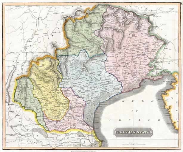
| Keywords: 1814 Thomson Map of the Venetian States (Venice), Italy - Geographicus - VenetianStates-t-1814.jpg This fascinating hand colored 1814 map by Edinburgh cartographer John Thomson depicts the Venetian States of Italy This includes the area immediately surrounding the floating city of Venice Trevigiano Friuli Padova and Vicentino Extends to Trent in the north Lombardy in the East and the Papal States in the south 1814 Size in 24 20 object history credit line accession number VenetianStates-t-1814 Geographicus-source PD-old-100 Maps by John Thomson 1814 maps Maps in English Old maps of Veneto Old maps of Trentino-South Tyrol Old maps of Friuli-Venezia Giulia | ||||