MAKE A MEME
View Large Image
| View Original: | 1771_Bonne_Map_of_the_Auvergne,_Limosin,_Bourbonnais,_and_Berri,_France_-_Geographicus_-_Auvergne-bonne-1771.jpg (2461x3500) | |||
| Download: | Original | Medium | Small | Thumb |
| Courtesy of: | commons.wikimedia.org | More Like This | ||
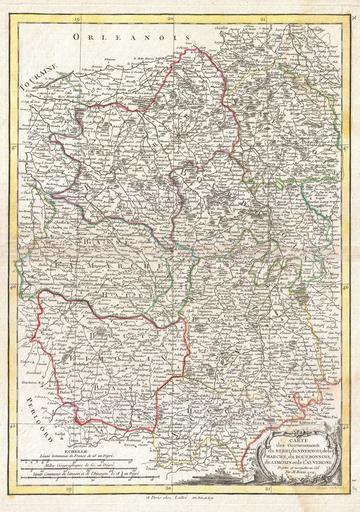
| Keywords: 1771 Bonne Map of the Auvergne, Limosin, Bourbonnais, and Berri, France - Geographicus - Auvergne-bonne-1771.jpg A beautiful example of Rigobert Bonne's decorative map of the French regions of Berri Nivernois Marche Bourbonnais Limosin and Auvergne A large decorative title cartouche appears in the lower right quadrant Drawn by R Bonne in 1771 for issue as plate no I 5 in Jean Lattre's 1776 issue of the Atlas Moderne 1771 dated Size in 12 16 5 object history credit line accession number Auvergne-bonne-1771 Lattre Jean <i>Atlas Moderne ou Collection de Cartes sur Toutes les Parties du Globe Terrestre</i> c 1775 Geographicus-source PD-old-100 Maps by Rigobert Bonne Old maps of regions of France History of Auvergne History of Limousin Bourbonnais 1770s maps of France Old maps of Berry Old maps of Auvergne 1771 Old maps of Aquitaine-Limousin-Poitou-Charentes 1771 Old maps of Bourbonnais | ||||