MAKE A MEME
View Large Image

| View Original: | 1720_Homann_Map_of_Northern_Italy_"Danubii_Fluminis"_-_Geographicus_-_CoursDanube-homan-1720.jpg (3000x2626) | |||
| Download: | Original | Medium | Small | Thumb |
| Courtesy of: | commons.wikimedia.org | More Like This | ||
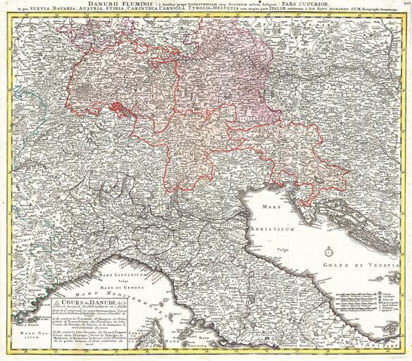
| Keywords: 1720 Homann Map of Northern Italy "Danubii Fluminis" - Geographicus - CoursDanube-homan-1720.jpg A stunning map of the Northern Part of Italy Switzerland and parts of Germany Covers from Rome in the south north as far as Bavaria and Bohemia to Provence in the west and modern day Albania in the east This highly detailed map was constructed to illustrate the western extant of the Danube River Printed c 1720 1720 Size in 22 19 5 object history credit line accession number CoursDanube-homan-1720 Geographicus-source PD-old-100 Johann Baptist Homann Old maps of Italy Old maps of Switzerland 1720 maps Maps in Latin | ||||