MAKE A MEME
View Large Image
| View Original: | 1687ThoHolmeMap.jpg (2980x2177) | |||
| Download: | Original | Medium | Small | Thumb |
| Courtesy of: | commons.wikimedia.org | More Like This | ||
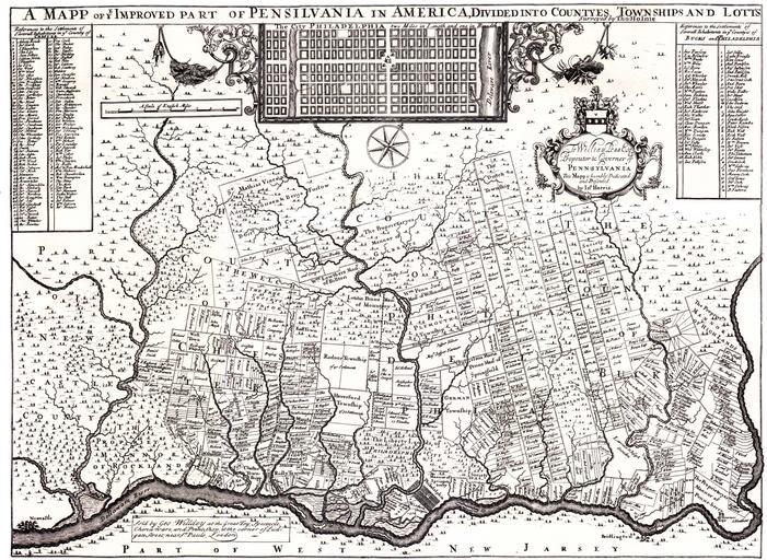
| Keywords: 1687ThoHolmeMap.jpg A_mapp_of_ye_improved_part_of_Pensilvania_in_America _divided_into_countyes_townships_and_lotts_-_cropped _curves jpg en Map published in 1687 by en William Penn Mapped by en Thomas Holme from Lower Merion historical Society website http //www lowermerionhistory org/atlas/1687 html Copy of map also in the Library of Congress with copies sold by the National Park Service en William Penn en Thomas Holme 1687 PD-old-100 original upload log page en wikipedia 1687ThoHolmeMap jpg '1' Upload date User Bytes Dimensions Comment - nowrap 2008-06-28 01 17 53 nowrap Smallbones nowrap 1430386 nowrap 2980×2177 <small><nowiki>Map published in 1687 by William Penn Mapped by Thomas Holme from Lower Merion historical Society website http //www lowermerionhistory org/atlas/1687 html copy of map also in the Library of Congress with copies sold by the National Park Service </nowiki></small> 1687 maps William Penn 1687 Thomas Holme map of Pennsylvania | ||||