MAKE A MEME
View Large Image
| View Original: | 1657_map_Polus_Antarcticus.jpg (5500x4837) | |||
| Download: | Original | Medium | Small | Thumb |
| Courtesy of: | commons.wikimedia.org | More Like This | ||
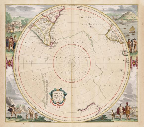
| Keywords: 1657 map Polus Antarcticus.jpg en Map of the southern polar regions Polus Antarcticus cum regionibus subjacentibus et maribus illum alluentibus The Antarctic pole with the adjoining regions and seas flowing near it From Atlantis majoris quinta pars the fifth part of the 1657 Atlas Major by Jan Janssonius 1588-1664 http //www geheugenvannederland nl/ /zoom/index/ language nl i http 3A 2F 2Fresolver kb nl 2Fresolve 3Furn 3Durn 3Agvn 3ANESA01 3AL18-0110 26size 3Dlarge Geheugen van Nederland voorheen http //www transitofvenus co nz/explorations/images/cooks_pg3_big jpg Creator Jan Janssonius 1657 thumb left Terraaustralis jpgthumb left HendrikHondius-ca1650 jpg PD-old-100 Old maps of Antarctica Maps by Jan Jansson | ||||