MAKE A MEME
View Large Image
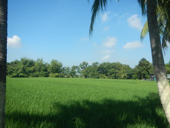
| View Original: | 09965jfBungahan Paddy fields Dakila Malolos Bulacan Farm Market Road Schoolfvf 20.jpg (4608x3456) | |||
| Download: | Original | Medium | Small | Thumb |
| Courtesy of: | commons.wikimedia.org | More Like This | ||
| Keywords: 09965jfBungahan Paddy fields Dakila Malolos Bulacan Farm Market Road Schoolfvf 20.jpg Barangays http //wikimapia org/1277892/Ligas Ligas 14°51'40 N 120°50'56 E http //wikimapia org/7707057/Sumapang-Bata Sumapang Bata 14°51'43 N 120°50'6 E http //wikimapia org/1574229/Bungahan Bungahan 14°51'53 N 120°50'33 E http //wikimapia org/9756566/Dakila Dakila 14°51'3 N 120°50'15 E Malolos City Bulacan province along the Ligas-Bunggahan-Dakila Malolos City Bulacan Farm to Market Road from Governor Padilla-Cagayan Valley Roads in Guiguinto-Plaridel-Malolos Bulacan to Maharlika Highway Cagayan Valley Road Baliuag-Pulilan-Guiguinto Bulacan Pan-Philippine Highway also known as the Maharlika Nobility/freeman Highway or Asian Highway 26 Cagayan Valley Road interconnecting with MacArthur Highway or Manila North Road Note Judge Florentino Floro the owner to repeat Donor Florentino Floro of all these photos hereby donate gratuitously freely and unconditionally all these photos to and for Wikimedia Commons exclusively for public use of the public domain and again without any condition whatsoever 2016-10-18 08 36 14 own Judgefloro other versions 14 861111 120 848889 heading 290 24 http //wikimapia org/1277892/Ligas Ligas 14°51'40 N 120°50'56 E Paddy fields in Bunggahan and Dakila Malolos City Bulacan | ||||