MAKE A MEME
View Large Image
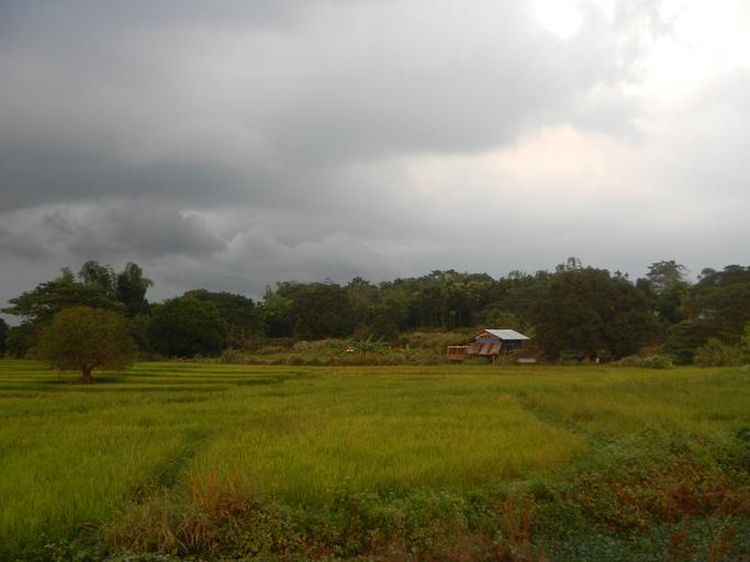
| View Original: | 0683jfPaddy fields Road Grasslands San Ildefonso Bulacan Roadfvf 24.jpg (4608x3456) | |||
| Download: | Original | Medium | Small | Thumb |
| Courtesy of: | commons.wikimedia.org | More Like This | ||
| Keywords: 0683jfPaddy fields Road Grasslands San Ildefonso Bulacan Roadfvf 24.jpg Barangay http //wikimapia org/26285149/Mataas-na-Parang-Elementary-School Mataas na Parang 15°5'45 N 120°57'39 E beside http //wikimapia org/15470578/Nabaong-Garlang Nabaong Garlang 15°6'23 N 120°57'42 E http //wikimapia org/24996351/Santa-Catalina-Bata Santa Catalina Bata 15°5'59 N 120°58'15 E http //wikimapia org/8420725/Santa-Catalina-Matanda-Elementary-School Santa Catalina Matanda 15°5'52 N 120°58'50 E http //wikimapia org/8420565/Sumandig-Elementary-School Sumandig 15°4'35 N 120°59'0 E http //wikimapia org/10158396/umpucan Umpucan 15°4'11 N 121°0'48 E San Ildefonso Bulacan accessed from the Maharlika Highway Cagayan Valley Road San Rafael-San Ildefonso Bulacan section Ž of the Pan-Philippine Highway Taken during the exit of Typhoon Nock-ten 2016 Note Judge Florentino Floro the owner to repeat Donor Florentino Floro of all these photos hereby donate gratuitously freely and unconditionally all these photos to and for Wikimedia Commons exclusively for public use of the public domain and again without any condition whatsoever 2016-12-27 16 38 07 own Judgefloro other versions 15 069722 121 013333 heading 46 03 http //wikimapia org/8420565/Sumandig-Elementary-School Sumandig 15°4'35 N 120°59'0 E http //wikimapia org/10158396/umpucan Umpucan 15°4'11 N 121°0'48 E cc-zero Paddy fields fishponds grasslands trees and irrigation Santa Catalina Bata Santa Catalina Matanda Sumandig and Umpucan San Ildefonso Bulacan Farm-to-Market Road | ||||