MAKE A MEME
View Large Image
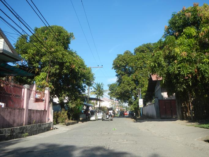
| View Original: | 04250jfSan Ildefonso Bulacan Roads Town Proper Highwayfvf 16.jpg (4608x3456) | |||
| Download: | Original | Medium | Small | Thumb |
| Courtesy of: | commons.wikimedia.org | More Like This | ||
| Keywords: 04250jfSan Ildefonso Bulacan Roads Town Proper Highwayfvf 16.jpg Barangay Poblacion beside http //wikimapia org/street/117647/san-juan San Juan 15°4'57 N 120°56'43 E http //wikimapia org/26285149/Mataas-na-Parang-Elementary-School Mataas na Parang 15°5'45 N 120°57'39 E http //wikimapia org/24996351/Santa-Catalina-Bata Santa Catalina Bata 15°5'59 N 120°58'15 E http //wikimapia org/8420725/Santa-Catalina-Matanda-Elementary-School Santa Catalina Matanda to Barangay http //wikimapia org/15470578/Nabaong-Garlang Nabaong Garlang San Ildefonso Bulacan accessed from the Maharlika Highway Cagayan Valley Road San Rafael-San Ildefonso Bulacan section Ž of the Pan-Philippine Highway Note Judge Florentino Floro the owner to repeat Donor Florentino Floro of all these photos hereby donate gratuitously freely and unconditionally all these photos to and for Wikimedia Commons exclusively for public use of the public domain and again without any condition whatsoever 2016-11-07 14 48 10 own Judgefloro other versions 15 0825 120 945278 heading 32 41 http //wikimapia org/street/117647/san-juan San Juan 15°4'57 N 120°56'43 E cc-zero Poblacion San Ildefonso Bulacan | ||||