MAKE A MEME
View Large Image
| View Original: | 0421jfRiverside Districts Creeks Minalin Pampanga villagesfvf 09.JPG (4608x3456) | |||
| Download: | Original | Medium | Small | Thumb |
| Courtesy of: | commons.wikimedia.org | More Like This | ||
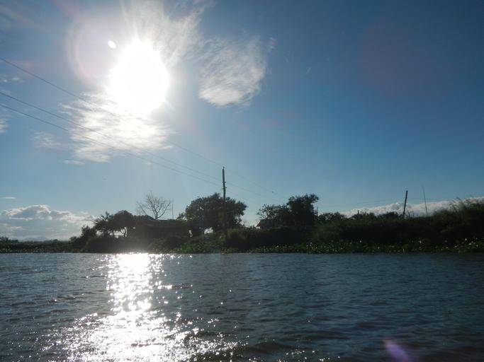
| Keywords: 0421jfRiverside Districts Creeks Minalin Pampanga villagesfvf 09.JPG Barangays http //wikimapia org/30079452/Caduang-Tete Caduang Tete beside http //wikimapia org/30072243/Saplad-David Saplad David Macabebe Pampanga Pampanga province beside Barangays http //wikimapia org/30083265/Santo-Rosario Santo Rosario http //wikimapia org/30082910/Bulac Bulac http //wikimapia org/30083150/Dawe Dawe and http //wikimapia org/street/753575/saplad-minalin-pampanga Saplad Minalin Pampanga Pampanga province along the Apalit-Masantol-Macabebe Pampanga Road interconnecting with the San Simon-Apalit Pampanga Road part of the MacArthur Highway Calumpit Bulacan Apalit Minalin Santo Tomas and City of San Fernando Pampanga section Ž MacArthur Highway Calumpit Bulacan-Apalit Pampanga section Ž of MacArthur Highway or Manila North Road Note the camera pans through these scenic villages at their river banks upon a hired fishing and passenger boat from small Pier at Santo Rosario Minalin Pampang and ending at the Caduang Tete Macabebe Pampanga Bridge Ž 2016-01-25 15 51 23 own Judgefloro other versions Riverside Districts Santo Rosario Dawe Bulac and Saplad Minalin Saplad David and Caduang Tete Macabebe Pampanga villages | ||||