MAKE A MEME
View Large Image

| View Original: | 0279jfWakas Bocaue Bulacan Roads Paddy Fieldsfvf 06.jpg (4608x3456) | |||
| Download: | Original | Medium | Small | Thumb |
| Courtesy of: | commons.wikimedia.org | More Like This | ||
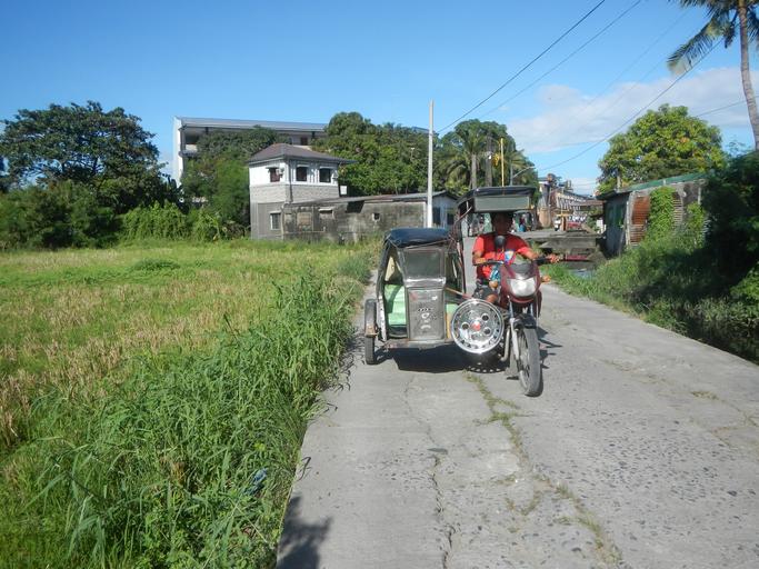
| Keywords: 0279jfWakas Bocaue Bulacan Roads Paddy Fieldsfvf 06.jpg Barangay http //wikimapia org/731941/Wakas-Bocaue-Bulacan-going-to-Taal Wakas 14°47'59 N 120°55'23 E http //wikimapia org/31455997/Wakas Wakas Proper 14°48'6 N 120°55'7 E http //wikimapia org/21414513/Bagumbayan Bagumbayan 14°47'50 N 120°55'21 E http //wikimapia org/street/900540/Sulucan Sulucan 14°47'28 N 120°55'1 E http //wikimapia org/street/151743/Nia-Road-St-Sulucan-Bocaue-Bulacan NIA Road 14°47'27 N 120°55'23 E http //wikimapia org/street/15966384/Poblacion-Bocaue-Bulacan Poblacion 14°47'41 N 120°55'31 E Bocaue Bulacan http //www bulacan gov ph/generalinfo/history php Bocaue Bulacan from and along MacArthur Highway Bocaue Bulacan section to MacArthur Highway Poblacion Wawa and Burol 1 Balagtas Bulacan business center of the MacArthur Highway Note Judge Florentino Floro the owner to repeat Donor Florentino Floro of all these photos hereby donate gratuitously freely and unconditionally all these photos to and for Wikimedia Commons exclusively for public use of the public domain and again without any condition whatsoever 2016-12-30 14 33 41 own Judgefloro other versions 14 801667 120 918611 heading 93 96 http //wikimapia org/731941/Wakas-Bocaue-Bulacan-going-to-Taal Wakas 14°47'59 N 120°55'23 E http //wikimapia org/31455997/Wakas Wakas Proper 14°48'6 N 120°55'7 E cc-zero Wakas Bocaue Bulacan | ||||