MAKE A MEME
View Large Image
| View Original: | 01026jfBarangay Mambugan Mayamot Masinag Landmarks LRT Antipolo Cityfvf 23.jpg (4608x3456) | |||
| Download: | Original | Medium | Small | Thumb |
| Courtesy of: | commons.wikimedia.org | More Like This | ||
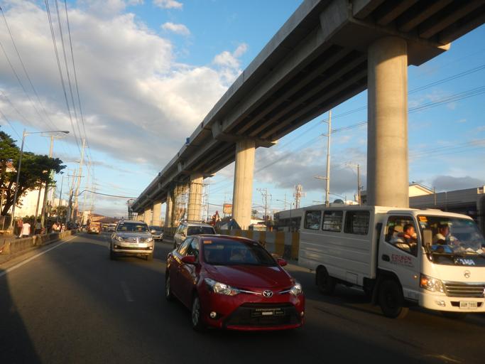
| Keywords: 01026jfBarangay Mambugan Mayamot Masinag Landmarks LRT Antipolo Cityfvf 23.jpg Legislative districts of Antipolo City List of barangays of Metro Manila Barangays http //wikimapia org/street/18358700/brgy-san-jose-antipolo-city San Jose 14°37'16 N 121°15'47 E http //wikimapia org/29373005/Dalig Dalig 14°34'11 N 121°11'28 E http //wikimapia org/28673588/Santa-Cruz Santa Cruz 14°36'45 N 121°9'37 E http //wikimapia org/1900985/Mambugan Mambugan 14°36'56 N 121°8'8 E Antipolo City along Sumulong Highway to Circumferential Road 6 and Marikina “Infanta Highway Marcos Highway or MARILAQUE Highway or Manila-Rizal-Laguna-Quezon interconnecting with along and from the http //wikimapia org/street/3706/en/Marcos-Highway-Marikina-Infanta-Highway-R-6 Marcos Highway 14°36'49 N 121°20'8 E Marikina City Section Note Judge Florentino Floro the owner to repeat Donor Florentino Floro of all these photos hereby donate gratuitously freely and unconditionally all these photos to and for Wikimedia Commons exclusively for public use of the public domain and again without any condition whatsoever 2016-11-29 16 30 35 own Judgefloro other versions 14 615556 121 135556 heading 61 18 http //wikimapia org/1900985/Mambugan Mambugan 14°36'56 N 121°8'8 E cc-zero Landscape of Manila MRT Line 2 Santolan LRT Station - Emerald LRT Station - Masinag LRT Station Marcos Highway Pasig City Marikina City Cainta Rizal Antipolo City | ||||